MX Road

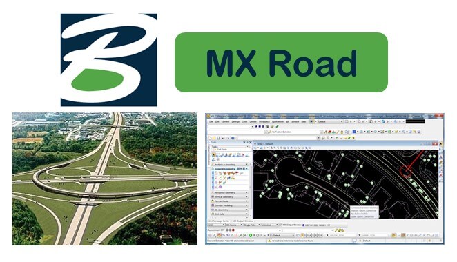
MX Road is an advanced string based modeling tool that enables the rapid and accurate design of all types of roads.
for Highway Engineers, Road Designers, Land Surveyors, CAD Technicians, and Infrastructure Professio

Course Type

alternative

₹ 21634  

What You'll Learn ?

Introduction to MXROAD and Key Features
Project Setup and Survey Input Methods
Point Selection and Model Analysis
Editing Models and String Naming Conventions
Horizontal and Vertical Design
Alignment Methods and Best Fit Alignment
Road Design, Super Elevation, and Reports
Junction Design and Earthwork Design
Pavement and Subgrade Design
Final Drawings Management and Cross Sections

Description

Course Description
MX Road is an excellent string-based modeling tool that enables the rapid and accurate design of all types of roads. Individuals such as civil engineers, designers, surveyors, system designers can access 3D modeling, construction driven engineering, and other analysis all in one engineering application. MX Road contributes to improving the quality of designs by combining traditional engineering workflow profile and cross sections with 3D modeling technology.
Course objectives
This course of MX Road aims to help you excel various features of the software, such as Interoperable Database that means creation and annotation of 3D project models. It will also help you to learn digital terrain model creation and integration with Google Earth.

Roles in industry
This software renders everything that one needs in transportation and civil design projects. It supports in survey and data acquisition for all types of the data field. It performs following functions within the industry:
It assures that project is engineered which is very critical for the 3D model
It allows users to share information across various teams, locations, and discipline in consideration to security and precision
Enables design-time visualization to view the design on the fly and save money by avoiding software and staff requirement
Course Highlights
  • Design 2D and 3D drainage design
  • Visualize information-rich model with mapping
  • Building horizontal and vertical alignments
  • Automate production of contract drawings
  • Design storm drainage, water, and sewer system
  • Pavement and subgrade design
  • Road and junction design